
The GIS & remote sensing partner
global teams rely on
One vendor, the complete geospatial stack — 17 service lines, 90+ specialised microservices, delivered to governments and enterprises across 25+ countries with contractual privacy, accuracy and timeliness.


Production-grade across every major geospatial stack
We work across domains
Our geospatial capabilities span the entire spectrum of location intelligence — from GIS foundations and remote sensing to WebGIS platforms, 3D visualization, AI-powered analytics and geospatial intelligence.
Amplifying Geospatial Intelligence
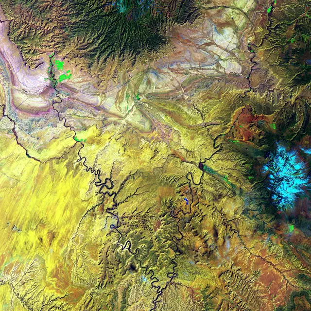
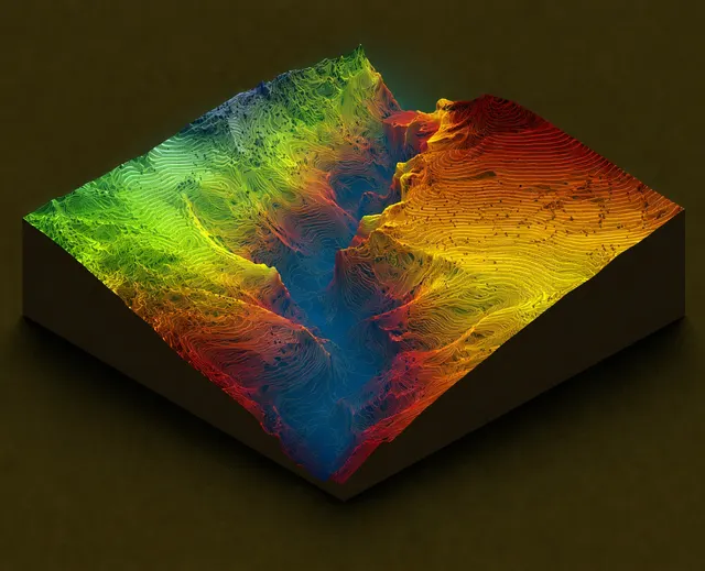
From satellite imagery and remote sensing to AI-driven spatial analytics, we transform raw geospatial data into decision-ready intelligence — spanning GIS mapping, WebGIS platforms, 3D digital twins, and custom applications.
We partner with defence organizations, government agencies, urban planners, agricultural bodies, and enterprises to solve real-world challenges through the power of location intelligence and earth observation.
We maintain a human-centered approach — advancing scientific progress by collaborating with universities, government agencies, NGOs, and communities worldwide. Geospatial intelligence as an essential partner for decision-makers.
Seventeen service lines.
One accountable partner.
Every macro service breaks down into focused microservices — each with its own page, specification and deliverables. Click through to exactly what you need.
GIS Data Services
High-volume data conversion, digitization and geodatabase production with multi-tier QA.
GIS Mapping & Cartography
Topographic, cadastral, thematic and base mapping at any scale — topology-clean and standards-compliant.
Explore GIS Mapping & Cartography →Remote Sensing & Image Analysis
Optical, SAR and hyperspectral analysis — from classification and change detection to AI feature extraction.
Photogrammetry & 3D
Aerial triangulation, DEM/DTM/DSM, true orthophotos and 3D city models with documented accuracy.
LiDAR Processing
Terabyte-scale point-cloud classification and derivatives meeting ASPRS and bespoke specs.
Drone / UAV Mapping
Survey-grade UAV acquisition and processing — volumetrics, inspection, corridor and agri missions.
Web GIS & Software Development
Geoportals, dashboards, mobile apps and APIs on Esri or open-source stacks — built and maintained.
Spatial Analytics & GeoAI
Decision-grade modelling — suitability, networks, hydrology, hotspots and predictive GeoAI.
Utility & Telecom Mapping
Network data production for electric, gas, water and telecom — as-builts to connected models.
Explore Utility & Telecom Mapping →Land Administration
Parcel and records modernisation programs — the backbone of national land governance.
Navigation & HD Map Data
Road networks, POI data and HD maps for navigation, logistics and autonomous driving.
Explore Navigation & HD Map Data →Defence & Military Geospatial
Terrain visualisation, mission-planning models and training simulation systems. Available to Army and Defence organisations only.
Managed GIS Teams
Dedicated offshore teams, staff augmentation and SLA-backed managed services.
Environmental Research & Climate Analytics
Evidence-grade environmental science — EIA baselines, climate risk, water, biodiversity and carbon MRV.
Geo-Business Intelligence
Location analytics that move revenue — site selection, territories, risk and market intelligence.
Governance Dashboards & Social Analytics
Administrative monitoring, social indicators and electoral intelligence for governments and NGOs.
Geospatial R&D & Innovation
Applied research, prototyping and benchmark datasets that push what geospatial can do.
Built to serve every major market
Region-aware delivery: local standards, your time zone, your currency. Select your market.
We engineer quality in,
so you don't audit it out
Typical vendors
- Quote low, then re-negotiate mid-project
- Hide production behind black-box workflows
- QA done by the same team that produced the data
- Data handling policies that live only on paper
- Deadlines slip silently — you find out last
- Deliver files, then disappear
GlobeIR
- Fixed scope, fixed price — agreed before kickoff
- Daily progress tracking you can see anytime
- Independent QA team with statistical sign-off
- NDA, encryption & certified deletion — auditable
- Weekly status reports, proactive risk flags
- Post-delivery support window on every contract
Trusted across continents
“GlobeIR digitized 1.2 million parcels for our land-records program ahead of schedule, with accuracy our auditors signed off on the first pass.”
“Their LiDAR classification quality and turnaround let us compress our powerline survey season by six weeks.”
“From data to a fully functional Web GIS portal in four months. GlobeIR handled everything — imagery, processing, development and training.”
Every sector that asks “where?”
Government & Public Sector
National mapping, land records, smart-city and e-governance programs.
Electric, Gas & Water Utilities
Network data you can trace, analyse and trust.
Telecom & Fiber
Design and inventory that compress rollout timelines.
Agriculture & Food Security
Satellite-driven intelligence for agritech and insurers.
Forestry & Natural Resources
Inventory and monitoring for forests and carbon programs.
Urban Planning & Smart Cities
The spatial backbone for master plans and city operations.
Have a geospatial project in mind?
Tell us your requirement — get a detailed proposal, sample output and quote within 48 hours.